Project overview
 The main aim of this project is to fully reconstruct tsunami events based in geological evidences. To achieve this purpose a combination of intersecting onshore and offshore sedimentological studies and numerical modelling will be conducted focusing in the south Portuguese coast.
In areas with low frequency of tsunamis (e.g. Atlantic coast of Europe) the accurate definition of coastal risk requires geological analysis that can contribute to the definition of return periods, run-up, number of inundation phases, inundation routes and inland limit, and to the quantification of sediment volume transported inland and offshore.
Based in the knowledge of Algarve’s Late Holocene onshore coastal stratigraphy – previously obtained by the research team on studies focusing on the AD 1755 tsunami – this project will track down the shallow offshore signatures of this event and will investigate other older tsunami events (undetected so far at the coast with its present sea-level). We hope to better define recurrence intervals for these events by extending the chronological analysis to the entire Holocene epoch.
This study is particularly well-timed because there is a need for rigorous tsunami hazard assessment and of its potential natural impacts and societal costs. Only by fully recreating tsunami inundation and backwash phases we will be able to entirely assess the resilience of coastal systems to these natural catastrophes. This is another internationally innovative and ground-breaking contribution this project can provide departing from the study of the most destructive tsunami that have impinged the Atlantic coasts of Europe in historical times (AD 1755).
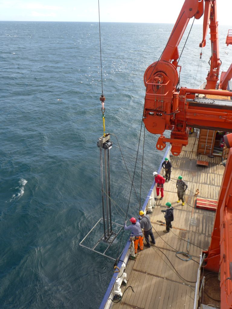
A multi-disciplinary sedimentological approach will be implemented in the study of both the onshore and offshore depositional record and will involve the high-resolution application of techniques such as grain-size, heavy mineral studies, magnetic susceptibility, microtextural, micropalaeontological and geochemical (XRF and biomarkers) analysis, CT-scan and x-ray imaging. Furthermore, the erosional imprint in sand barriers will be studied by combining ground penetrating radargrams with the establishment of a detailed chronological framework. Placed together, this data will certainly provide new insights in the understanding of tsunami inundation and backwash processes.
The geological record to gather will also create ideal conditions for the improvement and validation of hydrostatic and non-hydrostatic numerical models of tsunami inundation and sediment transport. Moreover, this project aims to develop hydrodynamic and morphodynamic models that are able to more accurately predict coastal system response to future tsunami inundations. Hence, the focus of this multi-disciplinary project is also societal by producing more reliable definitions of return periods, run-up heights, sediment volumes transported and setback lines which will favor the development of tsunami preparedness tools by local authorities.